Filter by

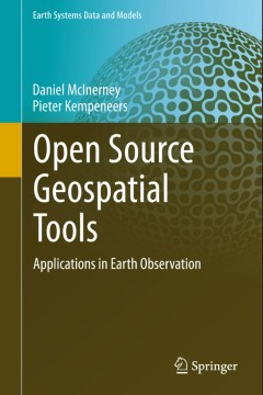
Open Source Geospatial Tools:Applications in Earth Observation
This book focuses on the use of open source software for geospatial analysis. It demonstrates the effectiveness of the command line interface for handling both vector, raster and 3D geospatial data. Appropriate open-source tools for data processing are clearly explained and discusses how they can be used to solve everyday tasks.A series of fully worked case studies are presented including vecto…
- Edition
- 1
- ISBN/ISSN
- 978-3-319-01823-2
- Collation
- XXVII, 358
- Series Title
- Earth Systems Data and Models
- Call Number
- -

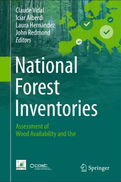
National Forest Inventories
The book presents the current state and good practices of national forest inventories in monitoring wood resources and demonstrates pathways for harmonisation and improved common reporting. Beyond a general overview over availability and use of wood resources in different countries, it provides a unique collection of original contributions from national forest inventory experts with in-depth de…
- Edition
- 1
- ISBN/ISSN
- 978-3-319-44014-9
- Collation
- XXXII, 845
- Series Title
- -
- Call Number
- -
 Computer Science, Information & General Works
  Philosophy & Psychology
  Religion
  Social Sciences
  Language
  Pure Science
  Applied Sciences
  Art & Recreation
  Literature
  History & Geography