Filter by
Found 1 from your keywords: subject="AGRICULTURAL MACHINER...

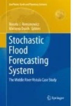
Stochastic Flood Forecasting System
This chapter presents an analysis of land cover and its changes in the Middle River Vistula catchment over the period 1990–2012. The river reach is situated between hydrological gauging stations at Zawichost and at Port Praski (Warsaw). Comprehensive information on land cover and land cover change is a crucial step in understanding and modelling hydrological processes. The land cover and…
- Edition
- -
- ISBN/ISSN
- 978-3-319-18854-6
- Collation
- -
- Series Title
- -
- Call Number
- -
 Computer Science, Information & General Works
  Philosophy & Psychology
  Religion
  Social Sciences
  Language
  Pure Science
  Applied Sciences
  Art & Recreation
  Literature
  History & Geography